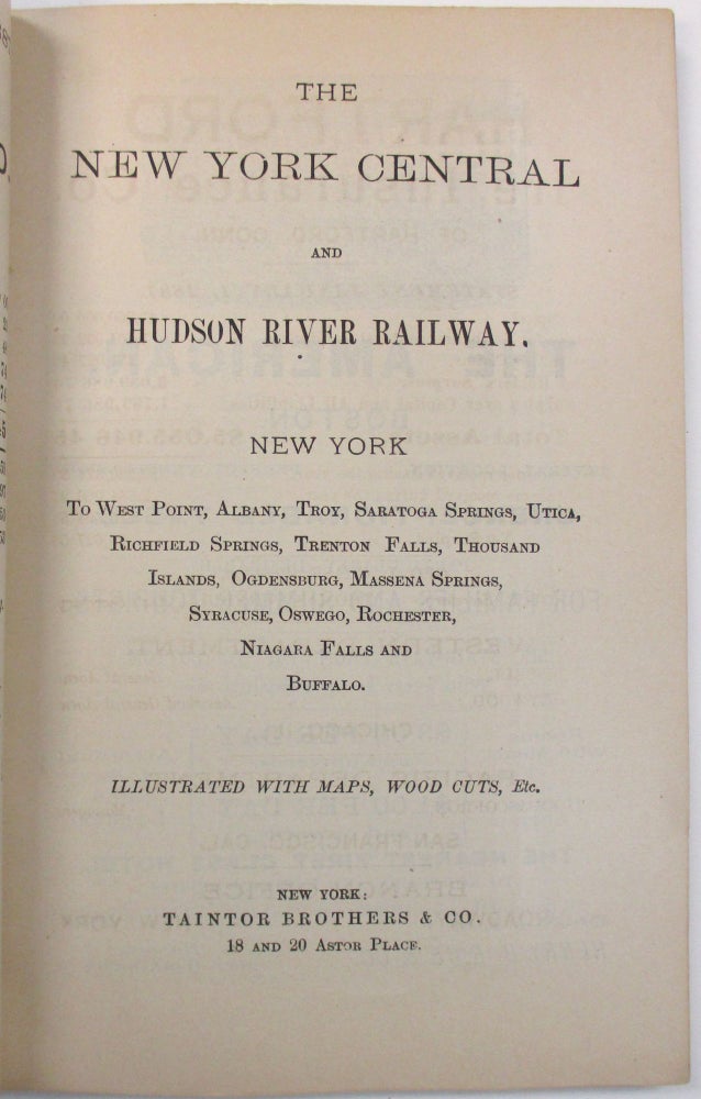
THE NEW YORK CENTRAL AND HUDSON RIVER RAILWAY. NEW YORK TO WEST POINT, ALBANY, TROY, SARATOGA SPRINGS...NIAGARA FALLS AND BUFFALO. ILLUSTRATED WITH MAPS, WOOD CUTS, ETC.
New York: Taintor Brothers, [@1887]. 12mo, original printed and illustrated blue wrappers. Stitched. [8], 110, [34] pp. Two folding maps, many illustrations, numerous advertisements [many illustrated]. Minor wear, Very Good.
The maps are entitled 'Map of the Rome, Watertown & Ogdensburg Railroad and Connections'; and 'The Tourist's Ideal Route- Rome, Watertown & Ogdensburg Railroad. The Only All-Rail Route to the Thousand Islands.' Taintor wrote a number of guide books on New York railroads and travel.
581 NUC 0015465 [2]. Not in BRE. Item #16325
Price: $250.00

