


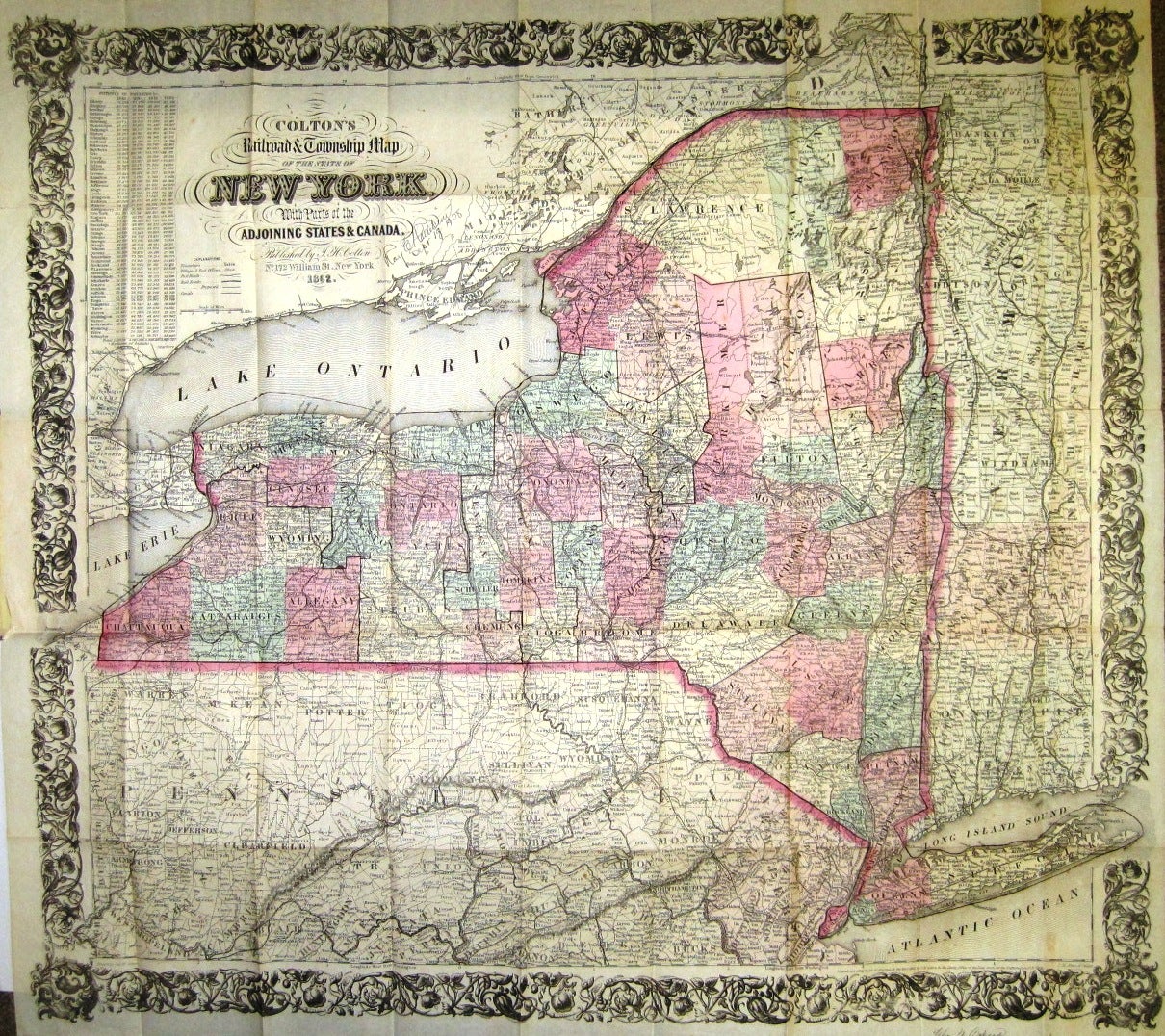
COLTON'S RAILROAD & TOWNSHIP MAP OF THE STATE OF NEW YORK, WITH PARTS OF THE ADJOINING STATES & CANADA.
New York: Published by J.H. Colton, 1862. 16mo cloth, with title stamped in gilt on front board. Folding pocket map, with full period color, details of railroad lines and networks, decorated borders. @28" x 26". Near Fine [pinsize closed splits at two fold intersections with no loss].
With statistical tables of population for New York counties. Information regarding State armories is pasted to the front pastedown.
Not in Modelski. Item #21973
Price: $600.00