MAPS OF THE DISTRICT OF COLUMBIA AND CITY OF WASHINGTON AND PLATS OF THE SQUARES AND LOTS OF THE CITY OF WASHINGTON. PRINTED IN PURSUANCE OF A RESOLUTION OF THE SENATE OF THE UNITED STATES.
Washington: Printed by A. Boyd Hamilton, 1852. 8" x 13". [2], 159 leaves [printed on rectos only] consisting of hundreds of plat illustrations. The front endpaper and the three folding maps are absent. Original brown cloth [title in gilt, front board detached]. Last few leaves spotted at bottom corner. Except as noted, Good+.
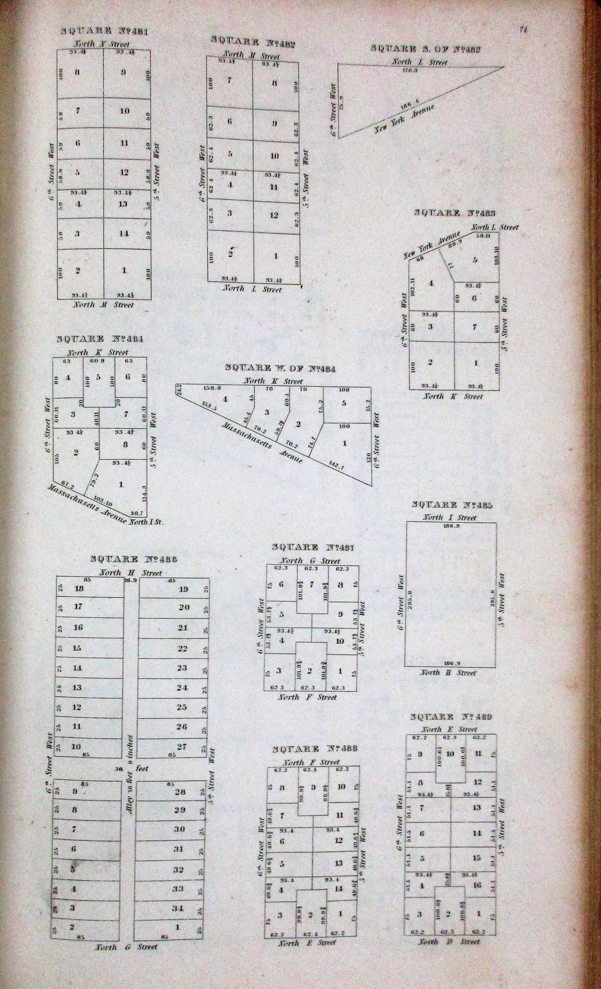
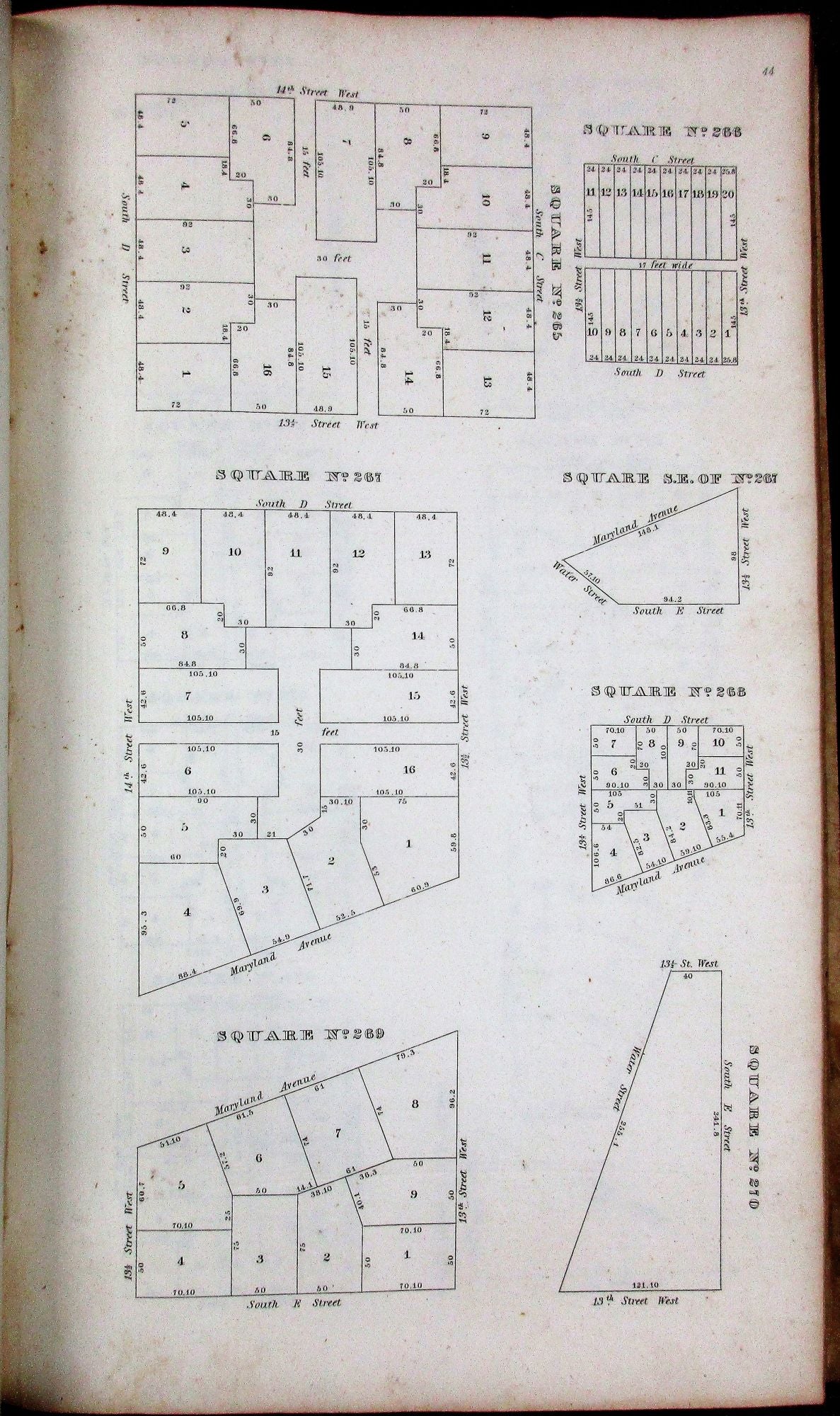
The book contains more than 1100 Plat Squares of Washington, D.C., each a detailed illustration of a portion of the City as of the time of its publication. Streets, avenues, and numbered building lots are noted, bounded with dimensions and delineated. The work was a major undertaking.
Phillips, List of Maps and Views of Washington and District of Columbia, page 40. Bryan 118. Item #23457
Price: $450.00