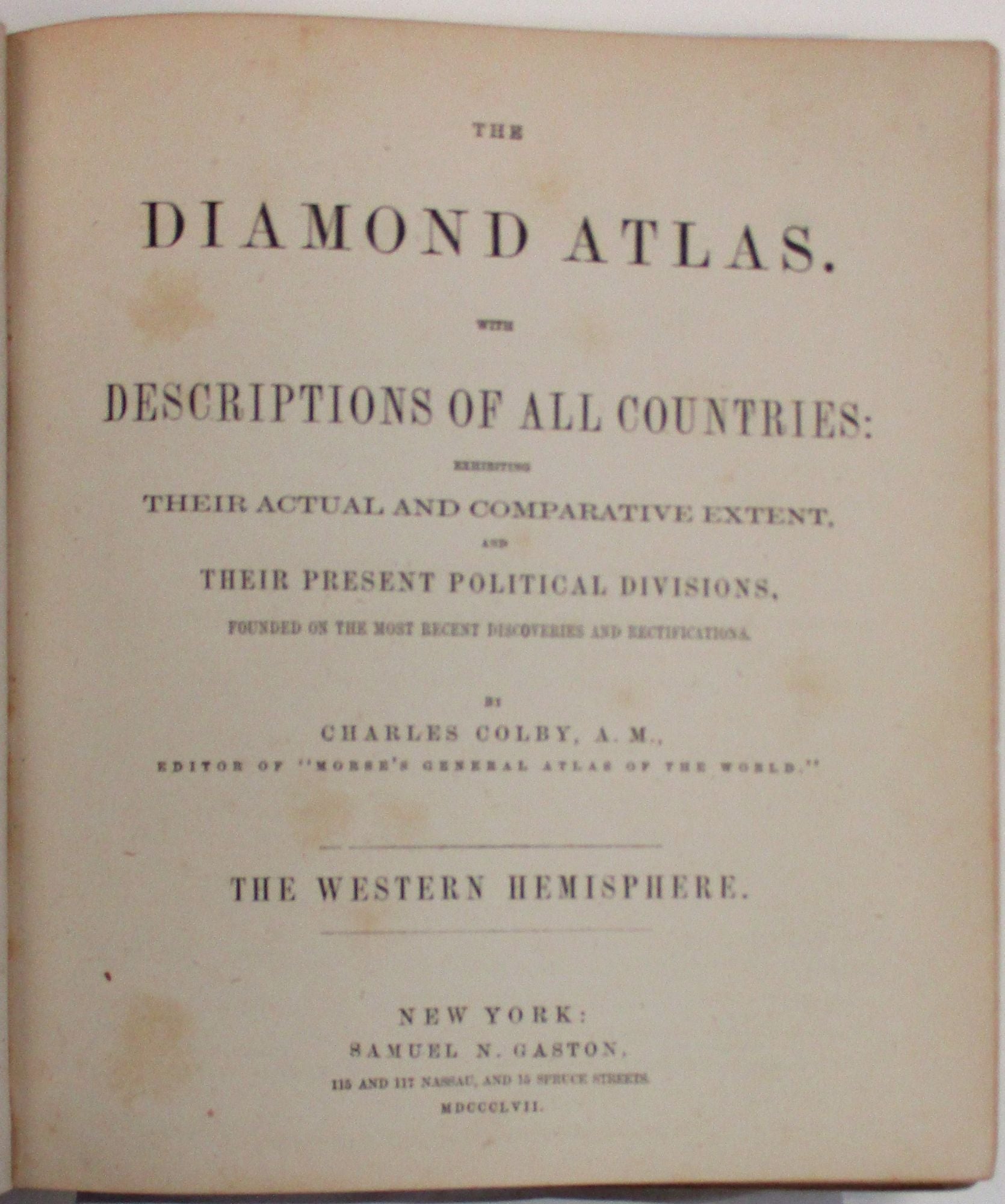
THE DIAMOND ATLAS. WITH DESCRIPTIONS OF ALL COUNTRIES: EXHIBITING THEIR ACTUAL AND COMPARATIVE EXTENT, AND THEIR PRESENT POLITICAL DIVISIONS, FOUNDED ON THE MOST RECENT DISCOVERIES AND RECTIFICATIONS...THE WESTERN HEMISPHERE.
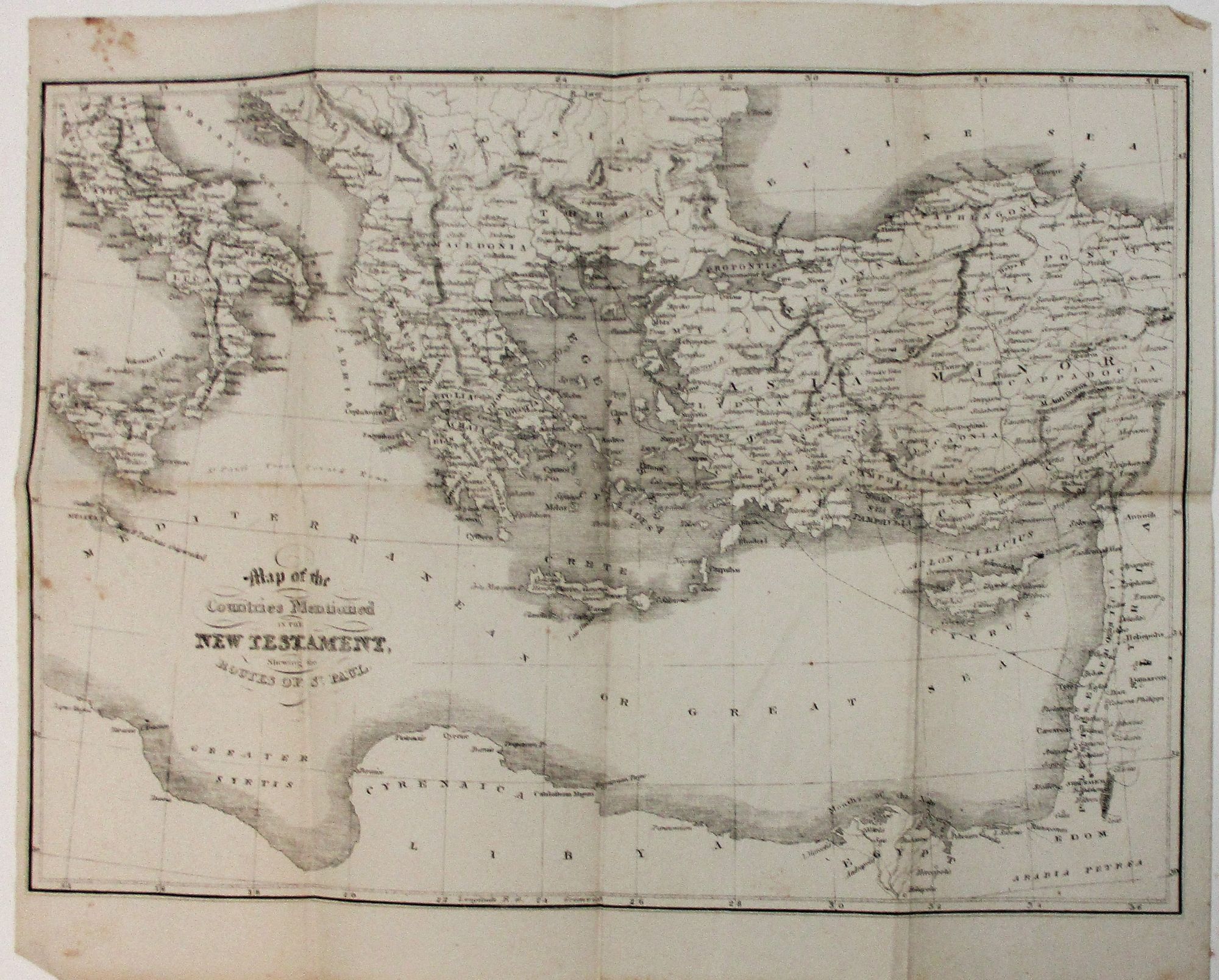
New York: Samuel N. Gaston, 1857. 7" x 7.5". 56 hand-colored maps and charts, including engraved title page, additional in-text illustrations. Contemporary calf, front hinge starting, inner hinge cracked]. Smooth spine gilt with gilt-lettered black morocco spine label. Extra-illustrated title page ['Morse & Gaston's Diamond Atlas']. vi, [7]-239, [1] pp, plus maps and charts. The final page [240] is a map, with explanation, of the route of the Transatlantic Telegraph. Text with scattered light foxing, generally clean; maps clean and bright. Very Good. Laid in is an apparently unrelated folded map, entitled 'Map of the Countries Mentioned in the New Testament, Shewing the Routes of St. Paul.' Contemporary ownership signature of John Jerome, Hamilton College, September 29, 1869. Jerome was a relative of Winston Churchill's mother, Jennie Jerome.
"This work in part consists of a complete Township Atlas of the United States...In the Western States, which were surveyed under direction of the General Government, all the 'base lines' and 'principal meridians' are correctly stated, so that the minutest locality may be ascertained in a moment. All of the maps have been engraved by the cerographic process, discovered by Mr. Morse, and used only by us."
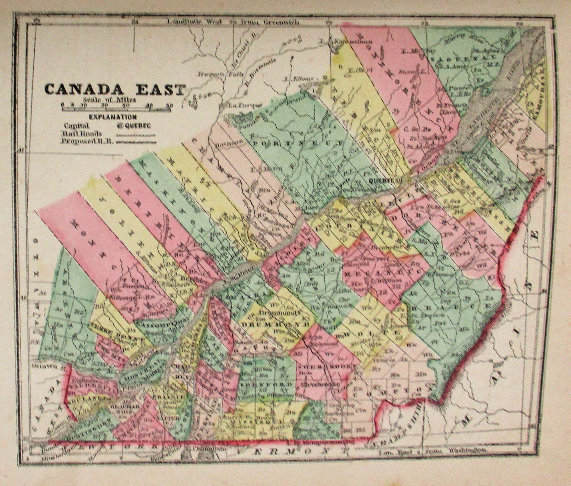
In the 1830's Sidney Morse, Samuel's brother, invented a method of engraving on wax. Its use was evidently not widespread; and the maps presented here-- comprising the States and Territories of the United States, the Provinces of Canada, and portions of Central America and the West Indies-- are an unusual example of this procedure. They are accompanied by much data on population, railroads and other infrastructure, trade, and agriculture; with additional information on meteorology, weather, "ethnographic data," and other matter offered in the charts.
FIRST EDITION. Phillips Maps of America 113. Item #37981
Price: $650.00