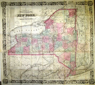
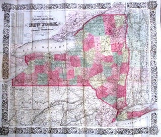
COLTON'S RAILROAD & TOWNSHIP MAP OF THE STATE OF NEW YORK, WITH PARTS OF THE ADJOINING STATES & CANADA.
New York: Published by J.H. Colton, 1862. 16mo cloth, with title stamped in gilt on front board. Folding pocket map, with full period color, details of railroad lines and networks, decorated borders. @28" x 26". Near Fine [pinsize closed splits at 2 fold intersections with no loss]. With statistical tables..... More
.jpg?width=320&height=427&fit=bounds&auto=webp&v=1711566184)
.jpg?width=320&height=427&fit=bounds&auto=webp&v=1711125125)